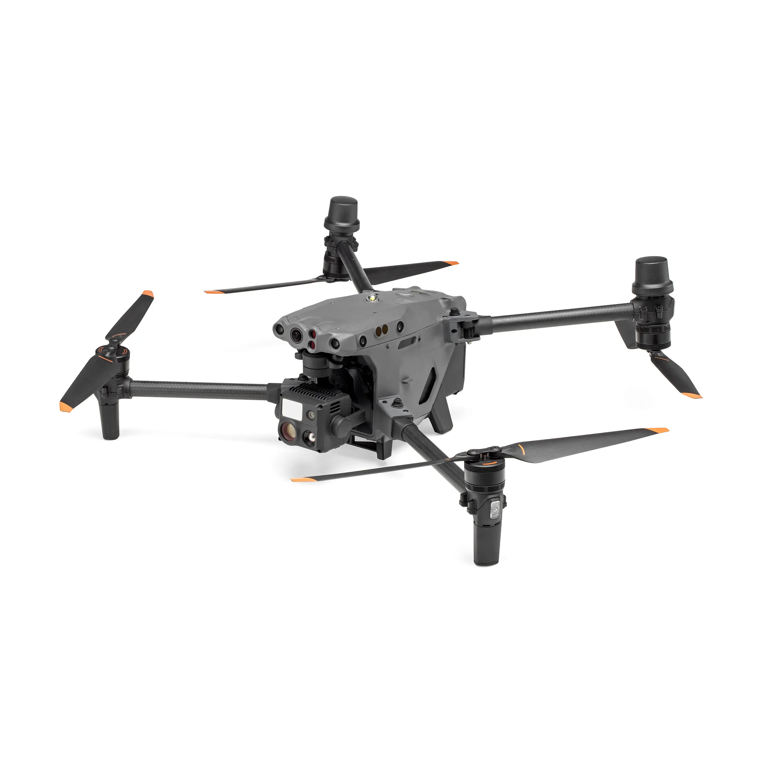
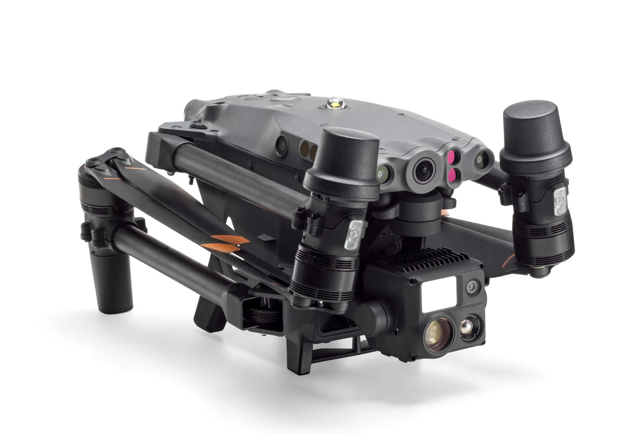
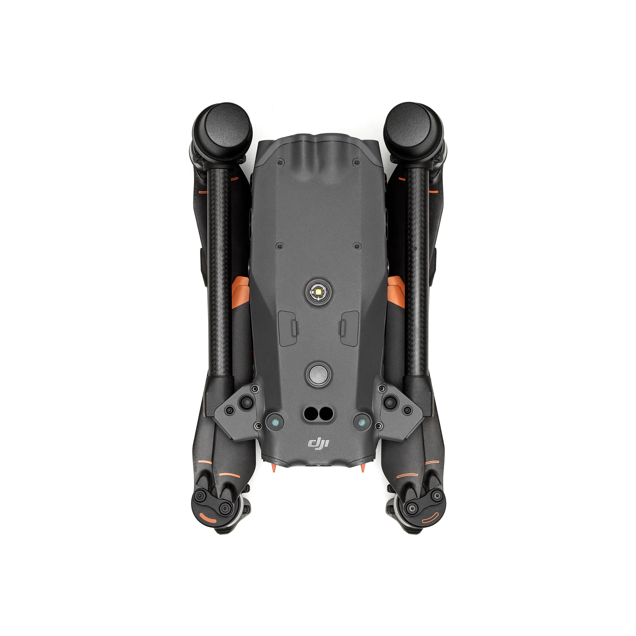
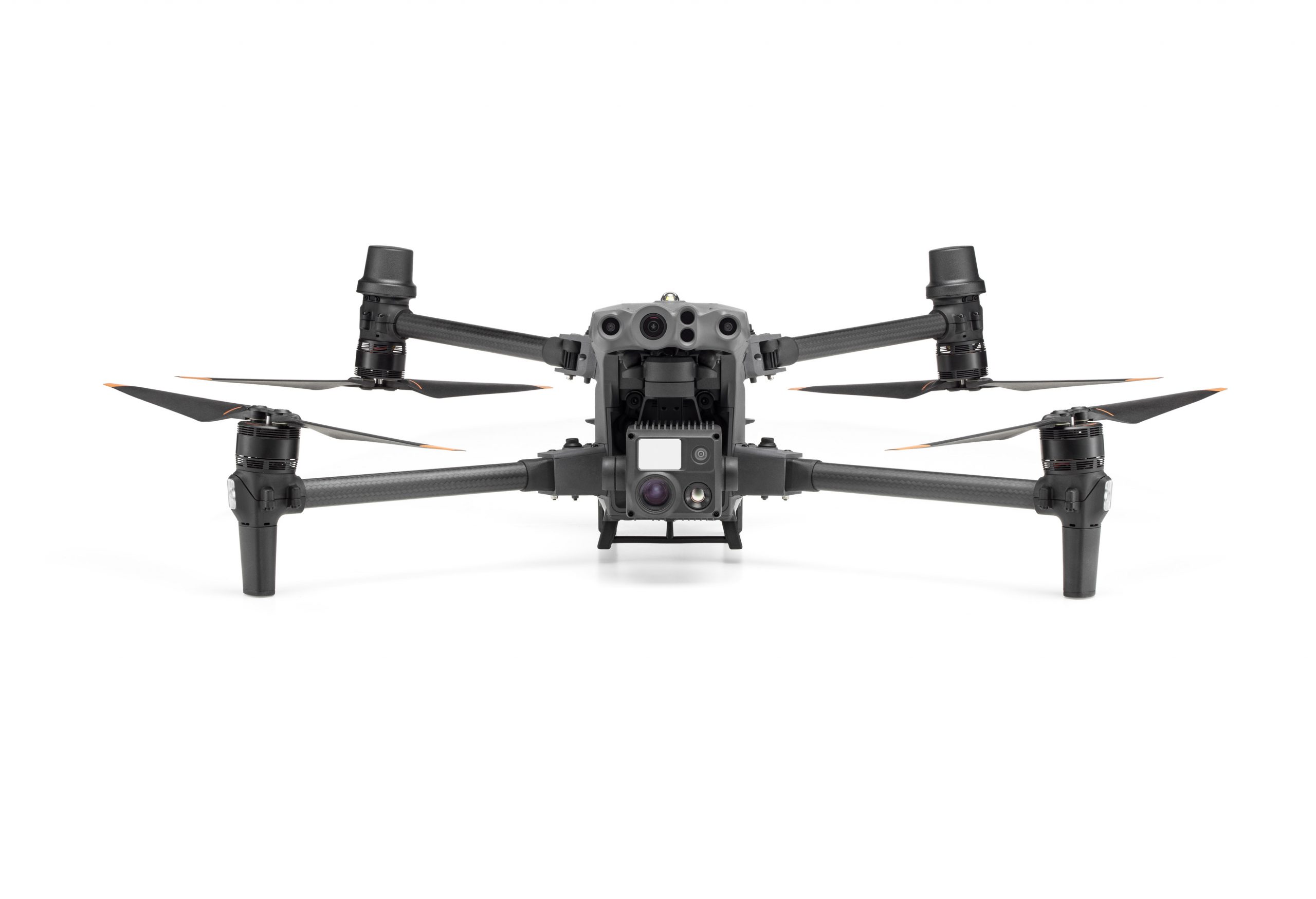
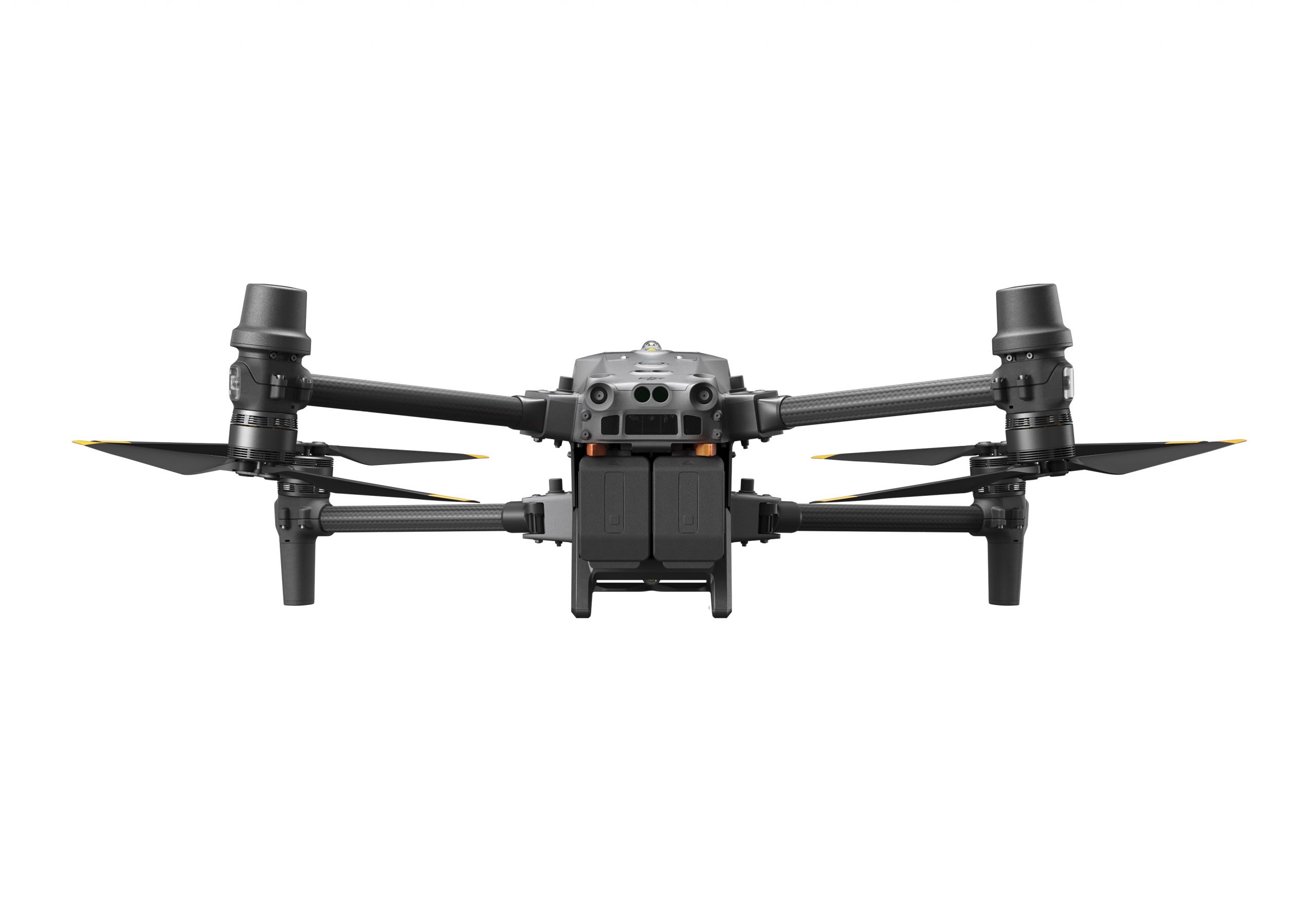
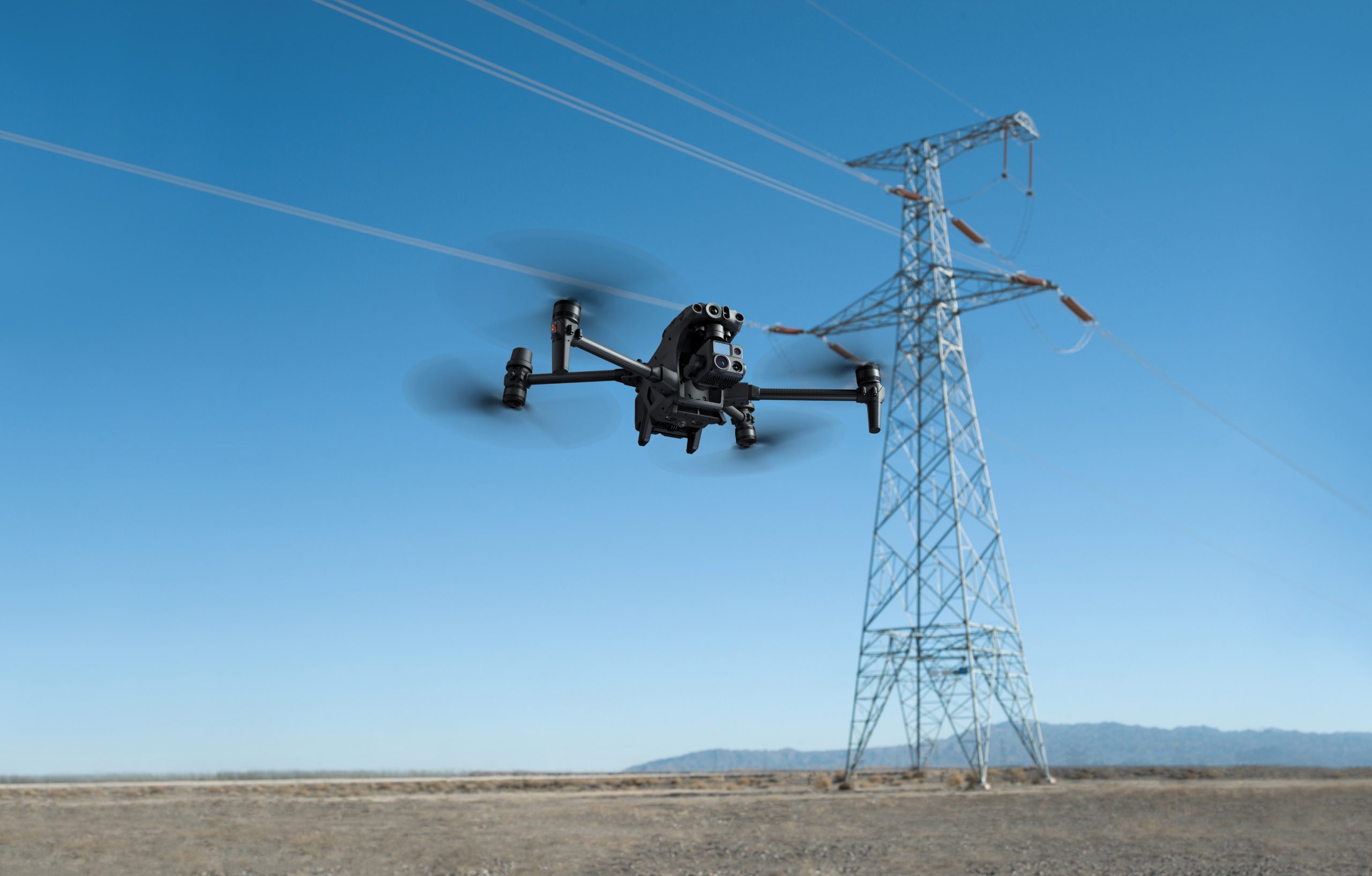
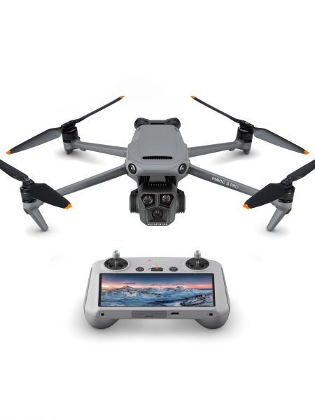
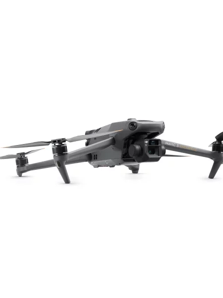
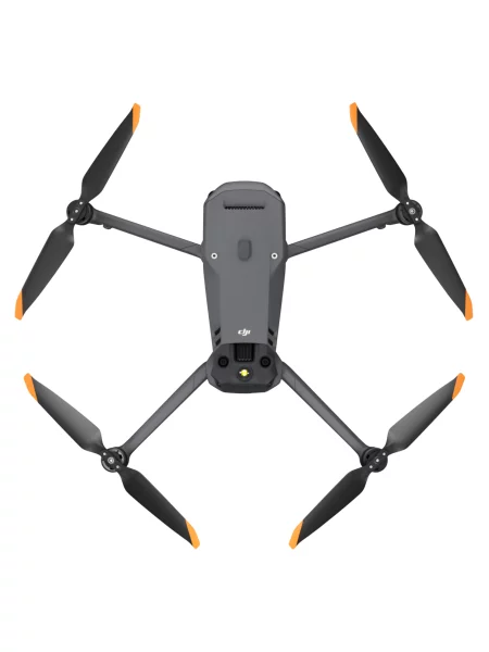
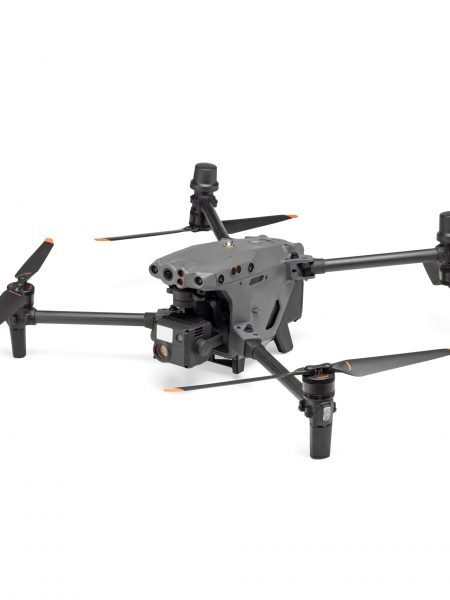
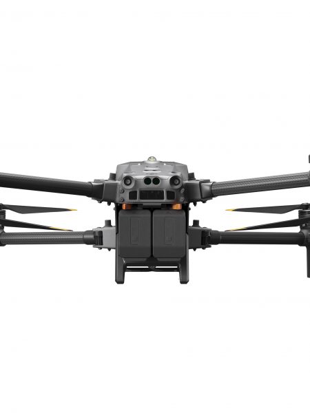
The DJI M30T fits in a backpack or can be used with the DJI Dock (Dock Version) for autonomous deployment.
It integrates multiple high-performance sensors into one single camera payload and can be used with the new DJI FlightHub 2 fleet management and flight planning software.
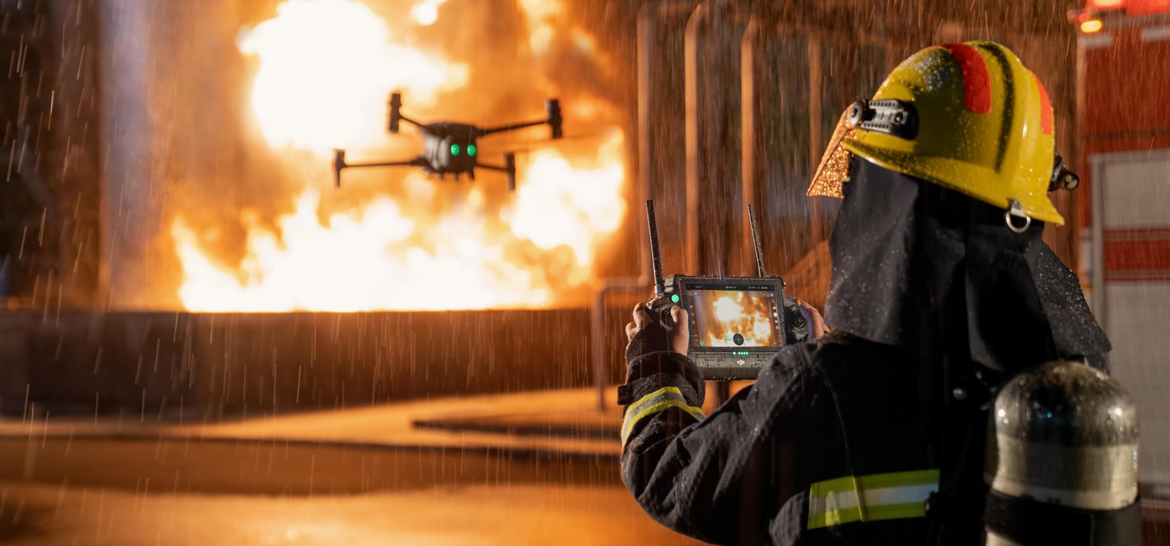
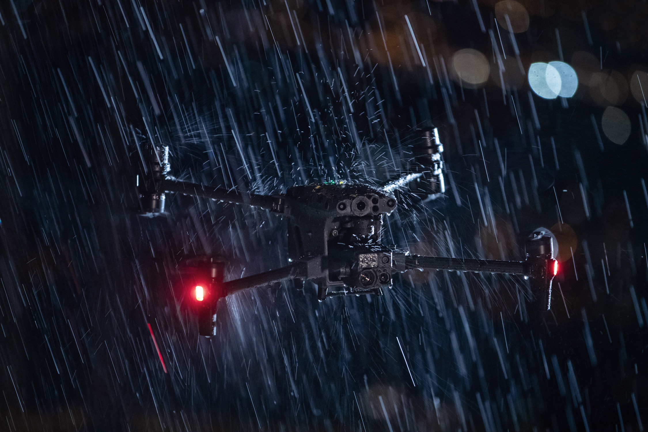
The M30 has an IP55 weather-rating, making it ideal for missions in hostile environments.
It is the fastest, easiest high-performance DJI Enterprise drone to set up.
DJI Care Enterprise protection cover (Basic package) is included with the M30.
MATRICE 30T CAMERA
The M30T model has a 48 megapixel 1/2″ CMOS sensor zoom camera with 5x to 16x optical and 200x digital zoom, a 12 megapixel wide-angle camera, 8k photo 4K/30 fps video resolution, and a laser rangefinder which can give the precise coordinates of objects up to 1,200 metres away. The M30T features an additional 640 x 512 px radiometric thermal camera.
Thermal Imaging Camera
Resolution: 640×512
Frame Rate: 30fps
Measurement Accuracy: ±2°C or ±2%5
DJI M30 DESIGN
- IP55 weather rating for outstanding performance in harsh environments, including wet weather.
- Operation temperatures from -20° C to 50° C.
- Improved first-person view pilot camera for low light conditions
- Three-propeller emergency landing, Health Management System, six-way obstacle avoidance sensors.
- Four-antenna OcuSync 3 Enterprise transmission ensures a strong redundancy, and it supports LTE link backup, in the face of complex terrain and working conditions.
- Foldable integrated lightweight design (3.7 kg take-off weight) that is easy to unfold, store and carry anywhere.
- New self-heating TB30 battery design can support at least 400 charge cycles and allows a 41-minute flight time.
- Smart BS30 charging case allows quick battery charging from 20% to 90% in 30 minutes.
- New self-locking system and can be folded by just pressing a button.
M30 DATA SECURITY
The M30 features best in class data security.
Offline Updates: Enable future firmware updates to be completed entirely offline. Firmware packages can be downloaded from the DJI official website and saved to an external storage device such a microSD card, before being uploaded into the M30 and updated with DJI Pilot.
Local Data Mode: Acts like Airplane Mode on a phone by completely disconnecting the DJI M30 from the internet, ensuring all data stays only in the drone.
SD card AES encryption: Protects all the photos, videos, and flight logs that get stored on the microSD card by a security code and AES encryption.
DJI RC PLUS
The new flagship enterprise controller.
- 7-inch-wide high-definition, bright screen
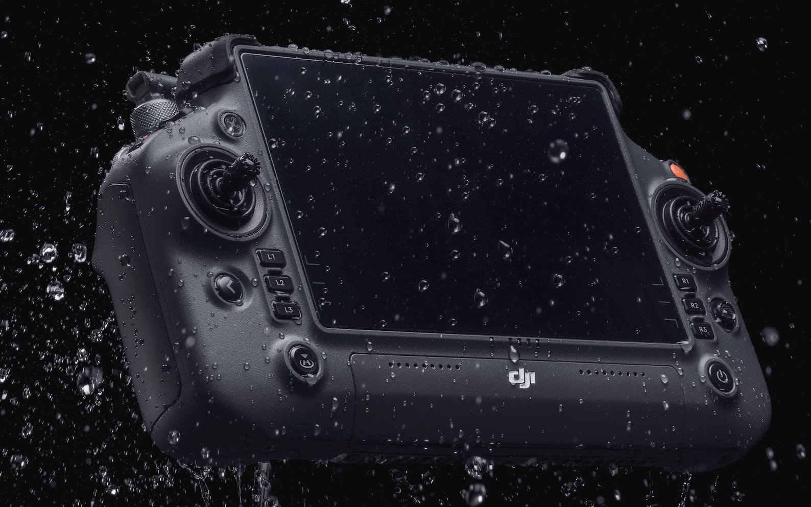
- IP54 certified, meaning it can be used in heavy rain
- The DJI RC Plus has six physical buttons below the control sticks next to the screen. This makes it easier to switch between key controls – such as wide angle, zoom, infrared, and FPV views – without having to take hands away from the control sticks.
- 6 hours of screen-on time. It has an internal battery and a swappable external battery, preventing the interruption of a mission.
- Ports for microSD card, USB, HDMI, USB type C and 4G connectivity (where offered), for customers needing transmission redundancy.
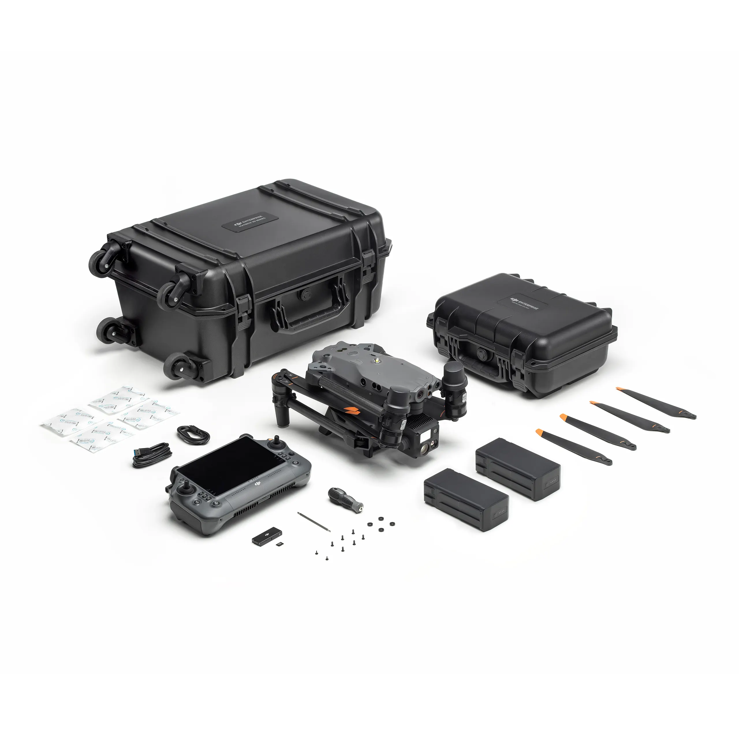
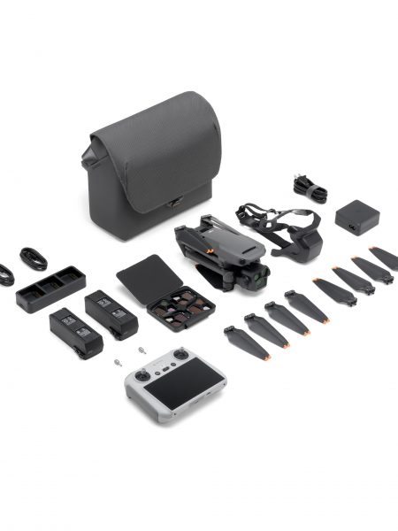
In the Box:
1 x Matrice 30T Drone
2 x TB30 /intelligent Flight Battery
1 x WB37 Battery
1 x RC Plus Remote Controller
This Combo includes: 1 Year Auto-activated Basic Care Plan.
|
Specification |
Value |
|---|---|
| Dimensions (folded) | 365×215×195 mm (L×W×H) |
| Diagonal Wheelbase | 668 mm |
| Weight (incl. two batteries) | 3770 ± 10 g |
| Max Takeoff Weight | 4000 g |
| Operation Frequency[1] | 2.4000-2.4835 GHz; 5.725-5.850 GHz |
| Transmitter Power (EIRP) | 2.4 GHz: <33 dBm (FCC); <20 dBm (CE/SRRC/MIC)
5.8 GHz: <33 dBm (FCC/SRRC); <14 dBm (CE) |
| Hovering Accuracy
(windless or breezy) |
Vertical: ±0.1 m (Vision System enabled); ±0.5 m (N-mode with GPS); ±0.1 m (RTK)
Horizontal: ±0.3 m (Vision System enabled); ±1.5 m (N-mode with GPS); ±0.1 m (RTK) |
| RTK Positioning Accuracy
(fixed RTK enabled) |
1 cm+1 ppm (horizontal)
1.5 cm+1 ppm (vertical) |
| Max Angular Velocity | Pitch: 150°/sec.; Yaw: 100°/sec. |
| Max Tilt Angle | 35° (N-mode and Forward Vision System enabled: 25°) |
| Max Ascent/Descent Speed | 6 m/s, 5 m/s |
| Max Tilt Descent Speed | 7 m/s |
| Max Horizontal Speed | 23 m/s |
| Max Service Ceiling Above Sea Level (without other payload) | 5,000 m (with 1671 propellers)
7,000 m (with 1676 propellers) |
| Max Wind Resistance | 15 m/s
12 m/s during taking off and landing |
| Max Hover Time [2] | 36 min |
| Max Flight Time[2] | 41 min |
| Motor Model | 3511 |
| Propeller Model | 1671
1676 High Altitude (not included) |
| Ingress Protection Rating[3] | IP55 |
| GNSS | GPS+Galileo+BeiDou+GLONASS(GLONASS is supported only when RTK module is enabled) |
| Operating Temperature | -20° to 50° C (-4° to 122° F) |
| Gimbal | |
| Angular Vibration Range | ±0.01° |
| Controllable Range | Pan: ±90°
Tilt: -120° to +45° |
| Mechanical Range | Pan: ±105°
Tilt: -135° to +60° Roll: ±45° |
| Zoom Camera | |
| Sensor | 1/2 CMOS |
| Lens | Focal length: 21-75 mm (equivalent: 113-405 mm)
Aperture: f/2.8-f/4.2 Focus: 5 m to ∞ |
| Wide Camera | |
| Sensor | 1/2 CMOS |
| Lens | DFOV: 84°
Focal length: 4.5 mm (equivalent: 24 mm) Aperture: f/2.8 Focus: 1 m to ∞ |
| Thermal Camera | |
| Thermal Imager | Uncooled VOx Microbolometer |
| Lens | DFOV: 64°
Focal length: 9.1 mm (equivalent: 40 mm) Aperture: f/1.0 Focus: 5 m to ∞ |
| Infrared Temperature Measurement Accuracy[4] | ±2°C or ±2% (using the larger value) |
| FPV Camera | |
| Resolution | 1920×1080 |
| DFOV | 161° |
| Frame Rate | 30 fps |
| Laser Module | |
| Wavelength | 905 nm |
| Max Laser Power | 3.5 mW |
| Single Pulse Width | 6 ns |
| Measurement Accuracy | ± (0.2 m + D×0.15%)D is the distance to a vertical surface |
| Measuring Range | 3-1,200 m (0.5×12 m vertical surface with 20% reflectivity) |
| Vision Systems | |
| Obstacle Sensing Range | Forward: 0.6-38 m
Upward/Downward/Backward/Sideward: 0.5-33 m |
| FOV | 65° (H), 50° (V) |
| Operating Environment | Surfaces with clear patterns and adequate lighting (> 15 lux) |
| Infrared Sensing Systems | |
| Obstacle Sensing Range | 0.1 to 10 m |
| FOV | 30° |
| Operating Environment | Large, diffuse, and reflective obstacles (reflectivity >10%) |
| TB30 Intelligent Flight Battery | |
| Capacity | 5880 mAh |
| Voltage | 26.1 V |
| Battery Type | LiPo 6S |
| Energy | 131.6 Wh |
| Net Weight | Approx. 685 g |
| Operating Temperature | -20° to 50° C (-4° to 122° F) |
| Storage Temperature | 20° to 30° C (68° to 86° F) |
| Charging Temperature | -20° to 40° C (-4° to 104° F)(When the temperature is lower than 10° C (50° F), the self-heating function will be automatically enabled. Charging in a low temperature may shorten the lifetime of the battery) |
| Chemical System | LiNiMnCoO2 |
| Auxiliary Lights | |
| Effective Illumination Distance | 5 m |
| Illumination Type | 60 Hz, solid glow |
| Remote Controller | |
| Screen | 7.02 inch LCD touchscreen, with a resolution of 1920×1200 pixels, and high brightness of 1200 cd/m2 |
| Internal Battery | Type: Li-ion (6500 mAh @ 7.2 V)
Charge Type: Supports battery station or USB-C charger maximum rated power 65W (max voltage of 20V) Charge Time: 2 hours Chemical System: LiNiCoAIO2 |
| External Battery(WB37 Intelligent Battery) | Capacity: 4920 mAh
Voltage: 7.6 V Battery Type: Li-ion Energy: 37.39 Wh Chemical System: LiCoO2 |
| Operating Time[5] | Internal Battery: Approx. 3 hours 18 minInternal Battery + External Battery: Approx. 6 hours |
| Ingress Protection Rating[3] | IP54 |
| GNSS | GPS+Galileo+BeiDou |
| Operating Temperature | -20° to 50° C (-4° to 122° F) |
| O3 Enterprise | |
| Operating Frequency[1] | 2.4000-2.4835 GHz, 5.725-5.850 GHz |
| Max Transmission Distance (unobstructed, free of interference) | 2.4000-2.4835 GHz: 15 km (FCC); 8 km (CE/SRRC/MIC) |
| Max Transmission Distance (with interference) | Strong Interference (urban landscape, limited line of sight, many competing signals): 1.5-3 km (FCC/CE/SRRC/MIC)
Medium Interference (suburban landscape, open line of sight, some competing signals): 3-9 km (FCC); 3-6 km (CE/SRRC/ MIC) Weak Interference (open landscape abundant line of sight, few competing signals): 9-15 km (FCC); 6-8 km (CE/ SRRC/MIC) |
| Transmitter Power (EIRP) | 2.4 GHz: <33 dBm (FCC); <20 dBm (CE/ SRRC/MIC)
5.8 GHz: <33 dBm (FCC); <14 dBm (CE); <23 dBm (SRRC) |
| Wi-Fi | |
| Protocol | Wi-Fi 6 |
| Operating Frequency[1] | 2.4000-2.4835 GHz; 5.150-5.250 GHz; 5.725-5.850 GHz |
| Transmitter Power (EIRP) | 2.4 GHz: <26 dBm (FCC); <20 dBm (CE/ SRRC/MIC)
5.1 GHz: <26 dBm (FCC); <23 dBm (CE/ SRRC/MIC) 5.8 GHz: <26 dBm (FCC/SRRC); <14 dBm(CE) |
| Bluetooth | |
| Protocol | Bluetooth 5.1 |
| Operating Frequency | 2.4000-2.4835 GHz |
| Transmitter Power (EIRP) | <10 dBm |
| BS30 Intelligent Battery Station | |
| Dimensions | 353×267×148 mm |
| Net Weight | 3.95 kg |
| Compatible Battery Type | TB30 Intelligent Flight Battery
WB37 Intelligent Battery |
| Input | 100-240 VAC, 50/60 Hz |
| Output | TB30 Battery Port: 26.1 V, 8.9 A (supported up to two outputs simultaneously)
WB37 Intelligent Battery: 8.7 V, 6 A |
| Output Power | 525 W |
| USB-C port | Max. output power of 65 W |
| USB-A port | Max. output power of 10 W (5 V, 2 A) |
| Power Consumption (when not charging battery) | < 8 W |
| Output Power (when warming up battery) | Approx. 30 W |
| Operating Temperature | -20° to 40° C (-4° to 104° F) |
| Ingress Protection Rating[3] | IP55 (with the cover closed properly) |
| Charging Time[6] | Approx. 30 min (charging two TB30 batteries from 20%-90%)
Approx. 50 min (charging two TB30 batteries from 0%-100%) |
| Protection Features | Anti-Backflow Protection
Short Circuit Protection Over Voltage Protection Over Current Protection Temperature Protection |
| Other | |
| Footnotes | [1] 5.8 and 5.1GHz frequencies are prohibited in some countries. In some countries, the 5.1GHz frequency is only allowed for use indoors.
[2] The maximum flight time and the hover time were tested in a lab environment and is for reference only. [3] This protection rating is not permanent and may reduce over time after long-term use. [4] Infrared temperature measurement accuracy was tested in a lab environment and is for reference only. [5] The maximum operating time was tested in a lab environment and is for reference only. [6] The charging time was tested in a lab environment at room temperature. The value provided should be used for reference only. |

